Translate

Showing posts with label Map. Show all posts

Sunday, 19 October 2014

The First Deep Wastes Battle matts for against the Robots

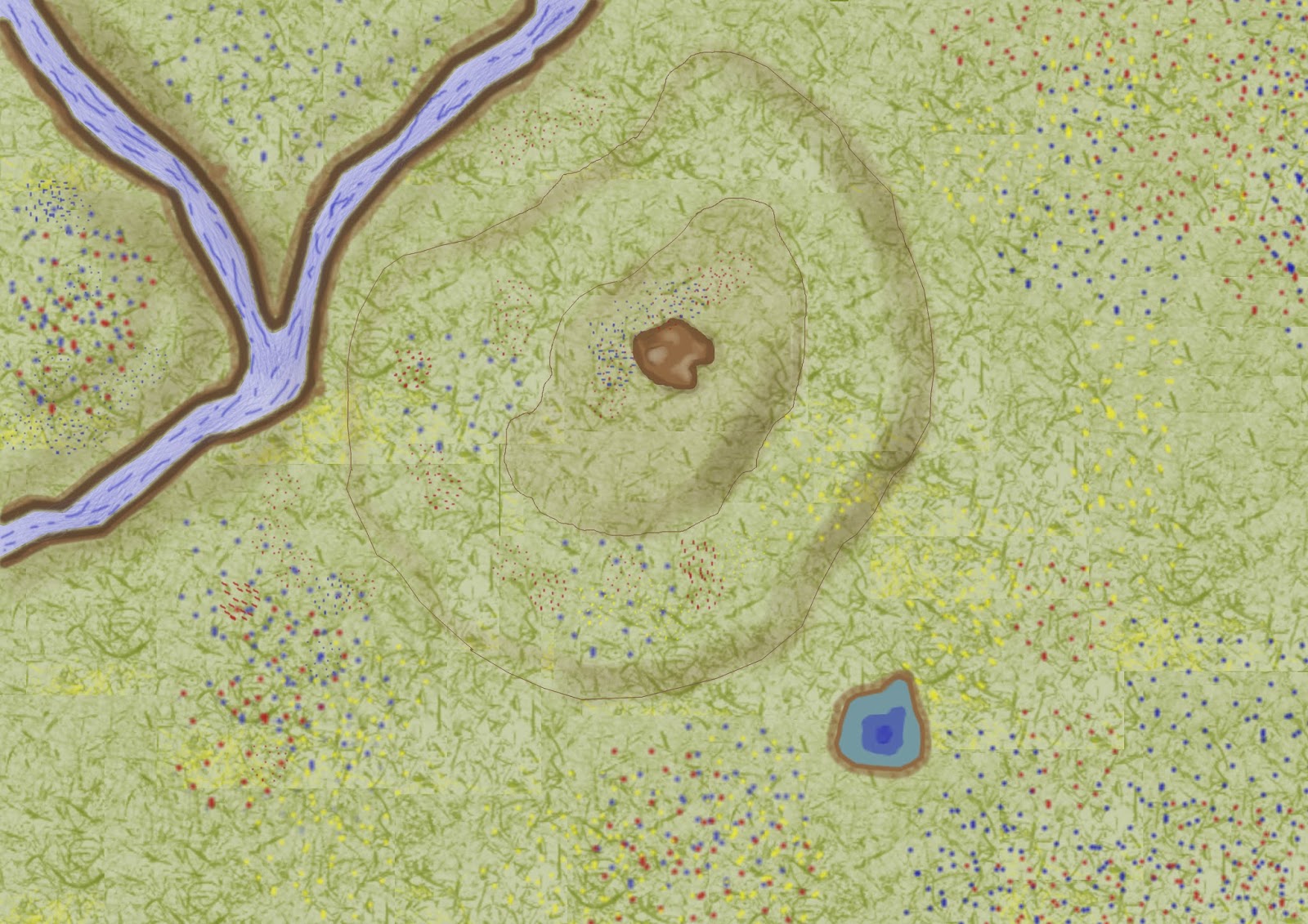
Lone Erratic
Water hole and low hills
Both are variations on the same map in much the same way as I did those for the more fertile parts of the north the main difference between the two other than some features is that I remembered to add a faint cracked mus texture to the areas of bare earth on the second as a way of adding a bit more visual interest when zoomed in

In both cases they could be individualised  by the addition of tokens once uploaded to Roll20 there will be more in this line when I have had some time to think about what to do

Saturday, 11 October 2014

Angrad (torch) Market a work in progress

 Made enough of a start to post this


A work in progress map based on an enlarged section of the map of Torch from the first Iron Gods module. This has been stretched and enlarged considerably which has causes a lot of pixilation and other artefacts form manipulating the image  and automated cleaning up and sharpening of the image having not worked as I wanted it I have resorted to manually retouching the image


More of the same done whilst it might not look that different the image will be cleaner in Roll20 but its still no where near done.


More work done I have all the paths and the roads sorted and the areas water but there are a lot of hoses to do as whilst they look fine at the size shown above they break down into pixilated blobs when you zoom in and given that the image may get further manipulated when it goes up onto Roll20 this is not a good thing


Screen shot Close up

The screen shot of the image viewed at 100% rather than 18% I think gives some idea of what I am fixing and I am begging to really loathe doing  urban maps even more. This is a relatively unworked area but you can see the start of my fixes on the buildings re-outlining them and then and then blocking them back in. All rather involved and time consuming.


More progress made

Yet more progress made but its painfully slow work compared to the rural maps and I am still cleaning up the distortions caused by manipulating the original image


A screen shot of pretty much same area as the first close up image and as you cam see there is a lot less image manipulation artefacts but a lot less detail as the artefacts where a result of the break up of the detailing on the original image.


More done mostly on the trees and beginning to put down some roof details in the form of ridge lines. Three is still some unwanted image manipulation artefacts mostly on the lots around the buildings and I am trying to work out how to deal with those, as well as to decide on the level of detail I need to add to the map. 


Screen shot showing the trees which I am quite pleased with as well as some of the remaining artefacts and the limited work I have done the houses


More done yesterday whilst unable to post  mostly house roof detail but also some other things and a few more of the remaining artefacts bit the dust. The Changes might be a bit to subtle to show clearly zoomed out this far

Friday, 10 October 2014

Against the Robots A field of Erratics

another battle mat 

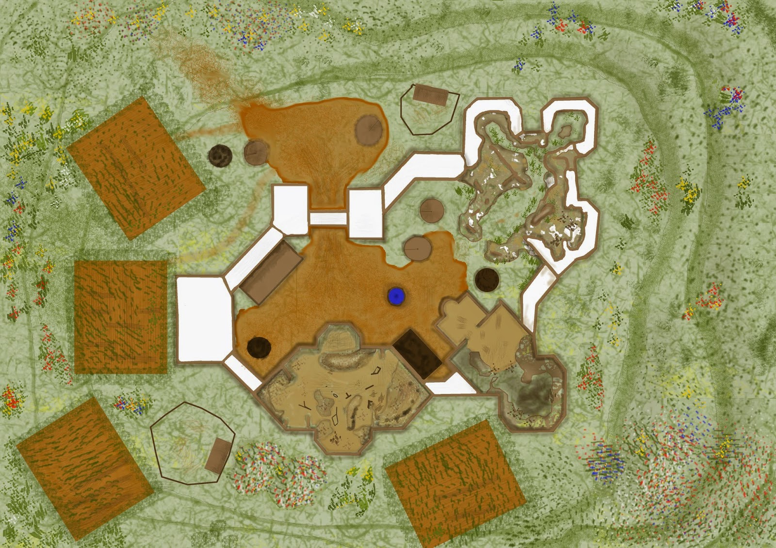
Open country in the wilds showing animal trails and a cluster of large erratics
An Erratic being a large boulder deposited by a glacer or in this case an ice sheet classically found atop a mound of finer deposits or uneroded material as these are. 

Also have the Market Place at Angrad (torch) in the works and had rather planed to get a WIP of it posted if not it actually done but was rather distracted by my non gaming life so that plan will have to wait a bit longer

Sunday, 5 October 2014

The finalized half ruined fortress


The final Version


I am quite pleased with this but it has led me to realise that I need to do more maps for earlier in the story particularly I need one of the Market square at Torch before I run it again.

Thursday, 2 October 2014

Somthing for the future

A conversion of the map for one of the parts of the second Iron Gods book

WIP ONE
It started of as a tracing of the map from the PDF but has been adapted and indeed is still being adapted as I work it into my bespoke setting. an this has included inserting a base layer which is the same one used for most of my northern wilds battle mats

I have quite a lot more work to do on this yet and I may not be needing it for some time however I wanted to get it up here and show it off as its the first attempt I have made at such a thing.

WIP TWO
A bit more work done in particular trying to give the three dimensional effect that the original map I traced form had to the fortress walls in particular


WIP THREE
 I am now going to go off and work on improving some of the common map textures for a bit particularly that of the flowers so common in the north in the short summer.


WIP FOUR


Now  after some more tweaking and the addition of the ubiquitous summer flowers I think we are getting there

Consolidated Nortlands Summer maps Part I

All the Maps I have done so far and which will be going up on the Against the Robots game over the week end.

Farm

Wilds one

Wilds two

Wilds Three

Wilds four

River crossing at farms edge

The Road house

The Village

Sunday, 28 September 2014

Another North lands Rural map - a work in progress


Still a work in progress but I have an early start so I will have to finish it off latter


More work done adding additional paths to the fields and texture to the banked fields so its developing but there is still quite a bit more tom be done.  One of the additions that I am considering is a path down to the sink hole in the north east corner made by the village live stock when they are taken to be watered and perhaps a paddock or two like the one I din on the earlier road house. I also think I need to suggest the presence of crops in the fields.


I am beginning to think that this one is almost done I need to finish of the house roves as I have only started on some and to make the banks around the fields look a bit more three dimensional but I feel its close and heading in the right direction 

I am all in all increasingly chuffed with these battle mats


This is I think now finished 

The centre of Vaham a work in progress

The Market area 

This is the start any way of the promised additional urban map set. I am doing it in the same style as the previous ones of Vayham and on an A3 canvas as they where I am however not doing every thing entirely freehand as I did before, as I have picked up a few more tricks I can use with GIMP since then and this is speeding matters up quite a bit. Even so compared with the rural maps its still slow which is why I am posting what I will admit its an early work in progress. 

More will follow but I also have work to do an will be running a game tomorrow night on Roll20


A bit more progress is made  and the yellow area is the Temple of the Coin lord ant the in  next door I am still debating where to put the market administration building where Quiril used to work before he got sacked for revealing the coin lords smuggling tunnels. The Guild hall also needs to be located on the square as well.

Saturday, 27 September 2014

Standard Vazaran Road house

 A Summer map


The external detail of a common Vazzaran road hose variations on which are to be found around every twenty miles along any major rural thoroughfare in the north lands. The province a bed and board to weary travellers as well as the chance to restock on basic gear and supplies in winter though this one is depicted in summer stumbling upon one has been the difference between life and death for many.

Internally they are not significantly different form any in one may have encountered any where, and a map of the inside of a typical one is a future project..

Thursday, 25 September 2014

An earlier Battle mat tweaked to add some hills


Having done this I think I prefer the new way I am doing these maps however it does add to the variety available for use. I need to do some winter ones next thought its going to be a while before they are needed.

Wednesday, 24 September 2014

Assorted Urban Maps

I did these for write ups of the urban interlude for a Company of Fools but I am quite proud of them especially as they where frankly a swine to do and stretched my small talent at such things


First the basic lay out of the town a sketch map the sort a character might draw in the field


Then a couple of Street Maps showing the different sections of the town in more detail. I do intend to do more but I am rather pout off by the complexity of the urban map as opposed to the rural one.

Tuesday, 23 September 2014

More battle maps for the Against the Robots

The wilds in summer 


Battle Map for Against the Robots


Done with GIMP on an A3 canvas this is the first attempt I have made at drawing a random encounter map for the Against the robots game and I feel it needs some more tweaking but an still thinking about quite how. It is meant  to show a typical small isolated rural farm probably built by southern immigrants and mostly designed for subsistence farming. It features the typical small thatched cottage tower shaped grain store couple of southern deciduous trees all surrounded by the riot of colour that is the more fertile part of the northern wastes in summer thought the plants are not the native grasses and succulent vetches found south of the gap though the farmers have attempted to plant a small meadow around the permafrost summer melt pond and their imported trees.

Be warned expect more in a similar vein as I prepare for the game which should be Monday next week I hope

Saturday, 20 September 2014

An Improved Unexpected Sewer explored so far


done some more work on this map to go with the write ups for episodes twenty three and four so that  it tells the story of the two sessions


Monday, 1 September 2014

Inside Against the Robots A sneak peak

A couple of scree shots I took on Roll20 whilst working on the game

Section of the travel map the scale is five miles to the hex


A Section of the Map of Torch showing the characters tokens and the GM's view of characters and articles in the handouts section  

Just so you know I have not been slacking

Wednesday, 27 August 2014

Torn Hold Map in progress


Still at the early stages and I am thinking how best to do the houses and other buildings as I don't want to have to draw each one individually I was wondering if I could get a house or building brush for GIMP and use that. This is why its taking quite so long to be honest


Have decided what to do now and made some progress  as I have added  the upper works of the hold but not yet added the houses using the set of brushes I made with the aid of GIMP ans a source image found using the roll20 search tool. The walls ans the hold need further detailing as do the roads and surrounding country but I have broken the mind block now.


I have now done considerable cleaning up and corrections on the image though that might not be immediately visible from the picture. It should however be apparent that I have started to add buildings to the town using a brush I made with GIMP it also sould be apparent that the additional houses have rather more detail than the rest of the map which has sent me of looking for ways to add this level to all the other map elements.

I would also recommend this Google community to the aspiring map maker as well as the Cartographers Guild

Players local Map

A Regional Map


Something of a work in progress, isn't every thing connected with a game whilst its running  but this will build to show the detail of the area close to the players current base of Torn Hold and where the adventure starts Angrad

Key

Red areas are Varazaran lands 
Purple areas are Dwarf land
Green areas heavy forest

Finally a bit of linguistic information on names - Varazzan place names ending in Grad are fortresses or at the least indicative of the presence of fortifications those Ariz are whilst often walled for protection largely civilian settlements with no major military presence. Torn and Zebregan are non standard with the former being a version of the original dwarven name and the latter being probably Solmori in origin

A Map Of Torn hold

A Bit of Background


Torn hold was initially founded by dwarves almost five hundred years ago as an extension to their surface farming enterprise in the vales around Drulkariz dwarf hold but dwarves are competent rather than gifted farmers and whilst it did not fail as such when the dwarves made trading contact with the Varazzan’s its days where numbered. As the amount and variety of food the Varazzans would trade for dwarf made finished goods made it more sensible to just buy the more exotic stuff than grow it themselves.

As the Varazzans began to expand north through the gap and discovered a large supply of the wonder metal at Zebregan the Dwarf king decided to sell the hold to the Varazzan’s for a large quantity of the metal which until the flare up of the purple flame at the site of what is now Angrad several years latter the Varazzans could not work. The dwarves had been aware of the metal as it is to be found in small quantities scattered about the area north of the Gap and where able to work it with difficulty in their sophisticated forges they valued it greatly and where always eager to get hold of more such as that the Varazzan miners could prize form the lode at Zebregan or latter hack from it with tools made from the reforged metal either by the dwarves or in the foundries at Angrad even if the reworked metal seemed to lack some of the hardness and toughness of  the original and the tools made form it where whilst able to hack lumps from the mother lode soon broken and blunted by doing so.

So Torn hold passed peacefully from Dwarven hands to Varazzan hands and is now the centre of the most sophisticated farming enterprise north of the gap further human settlers founded a network of smaller holds in the relatively fertile valleys around in many cases taking over the farming centres the dwarves had built but soon expanding beyond that and producing fine crops form land which the dwarves had thought barren.

This was a pattern which continued for nearly fifty years until the giants came down out of Kethian folk lore into the real world 

The actual map is in process